Route:
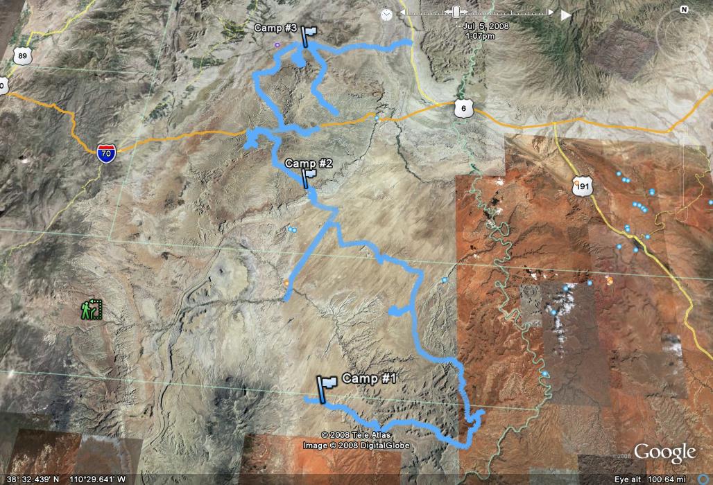
Mariko and I cruised down to Salt Lake to meet up with Jason (SAMI) and his brother Thomas, loaded up on fuel in Draper, and made Hanksville our new heading. We had heard about construction on Highway 6 so we decided to cruise down I-15 to Scipio, and take 24 through Capitol Reef to start out the trip. We got to Fruita just as the sun was saying its final goodbyes. So, instead of sticking around for long we pushed on. Around 10pm we found Hanksville ripe with expensive fuel, and tasty Hot Pockets. Cruising down 95 we dropped off onto the Poison Springs Wash Road and started looking for camp. Not wanting to be right in the wash we wandered down the road until we came to a great little spot to set up for the night.
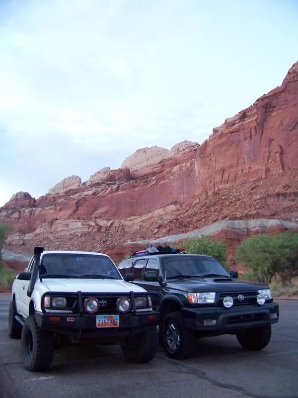
Capitol Reef Visitors Center/ Fruita:
Photo courtesy of Jason Goates
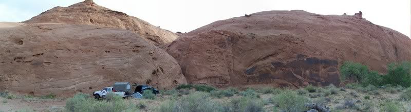
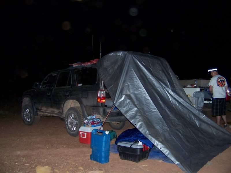
Camp #1:
Photo courtesy of Jason Goates
As the sun rose, bringing light in the morning we realized how great our surroundings were, and how happy we all were to be away from the busy routines of a normal 4th of July. I know I cannot possibly describe how great the area is and accurately portray it. So, in order for you to understand and see for yourself, you must take a drive through the area. I will try however to explain some areas of interest more, striving to capture our experience. I will surely do the areas injustice with my descriptions, but this will be an attempt to express some of the area and surely not a comprehensive report.
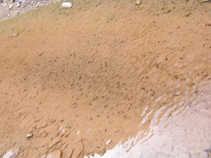
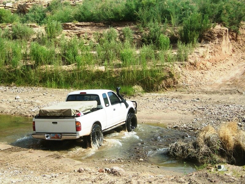
In the morning we packed up quick and continued down the wash, crossing through puddles stocked with hundreds of tadpoles. I had read that Dirty Devil River Crossing is usually about bumper deep. Yet when we rolled through it, the water was down to the main channel and barley came half way up the tires. We were slightly disappointed with the lack of adventure of this river crossing (we would have to wait a day or 2 for river crossing adventure).
Poison Springs Wash Road:
Photo courtesy of Jason Goates
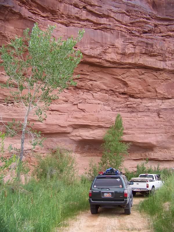
Photo courtesy of Jason Goates
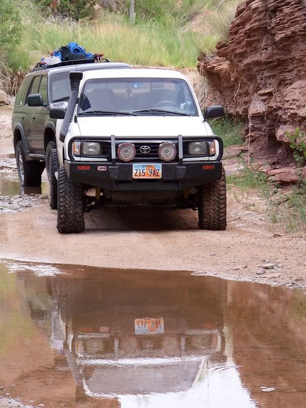
Photo courtesy of Jason Goates
Tadpoles:
Photo courtesy of Jason Goates
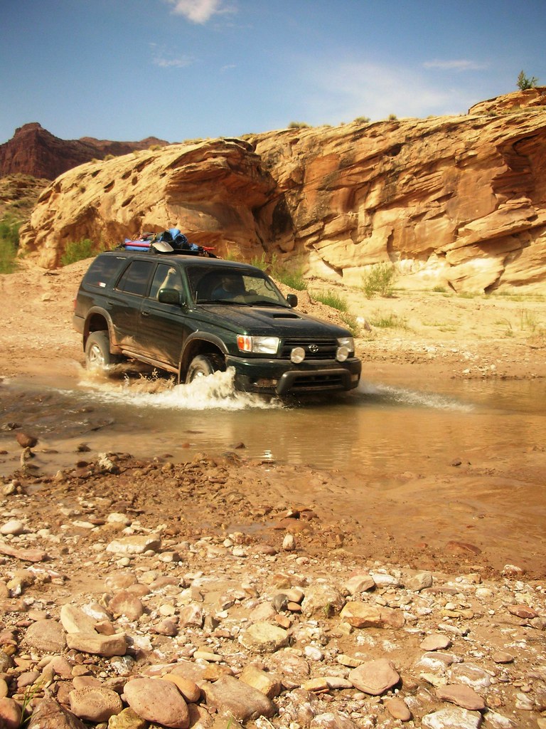
Crossing Dirty Devil River:
Photo courtesy of Jason Goates
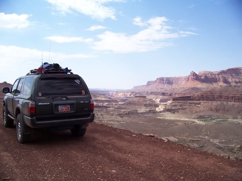
Over Looking Dirty Devil River:
Photo courtesy of Jason Goates
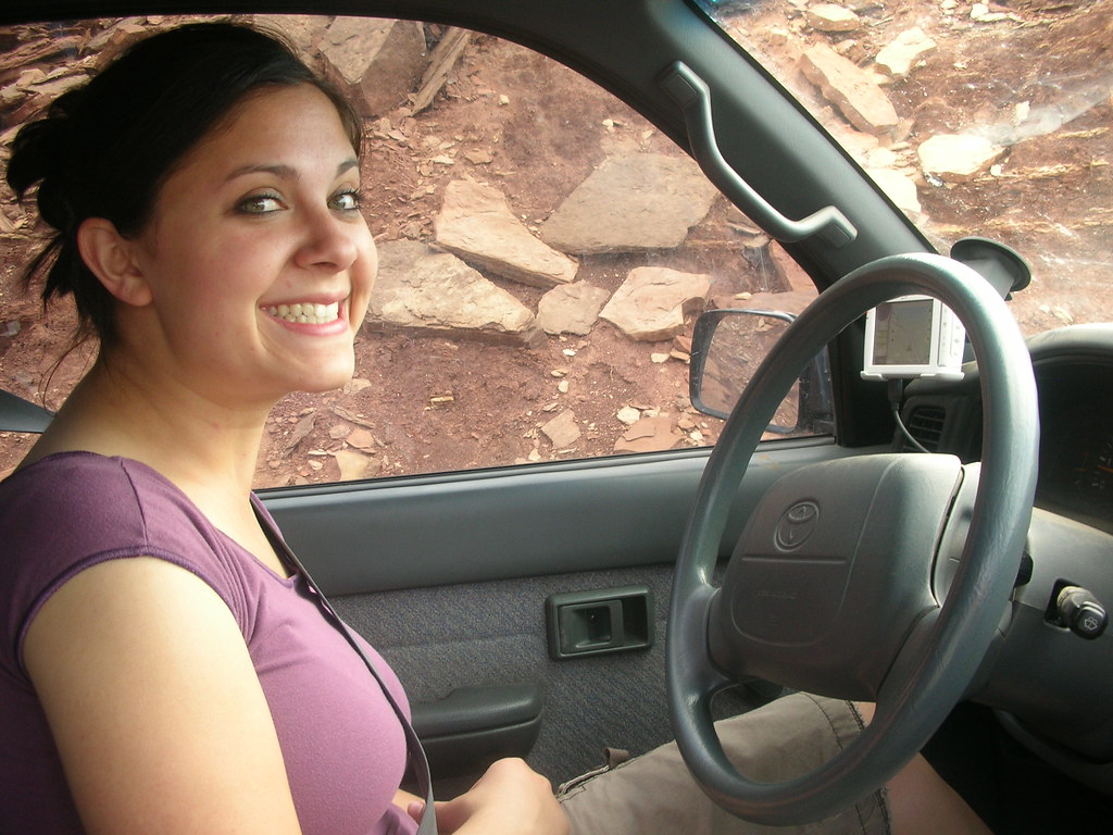
Mariko decided to drive  :
:
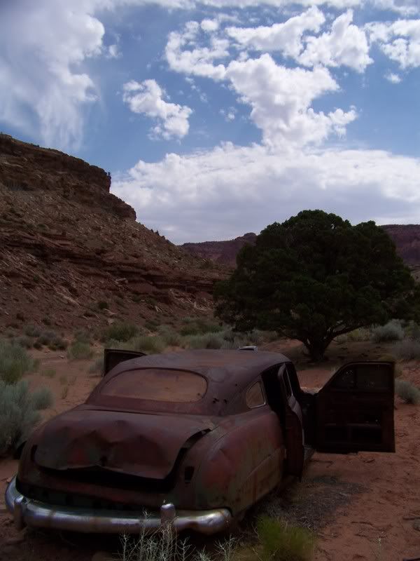
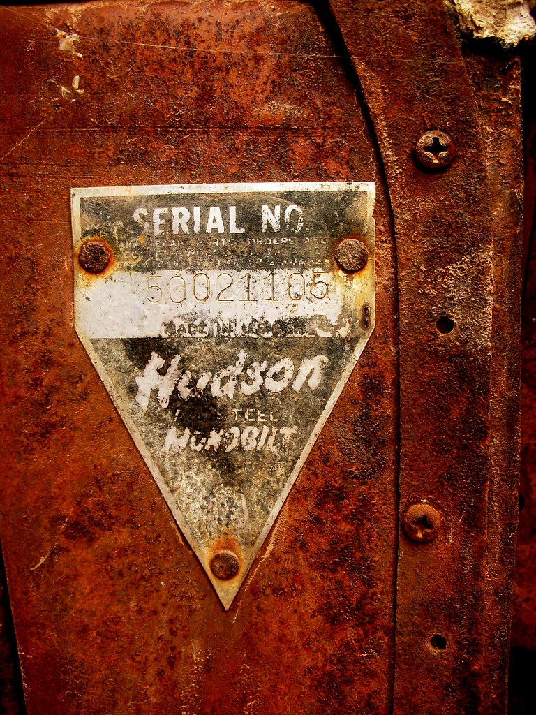
Old Hudson:
Photo courtesy of Jason Goates
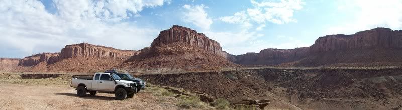
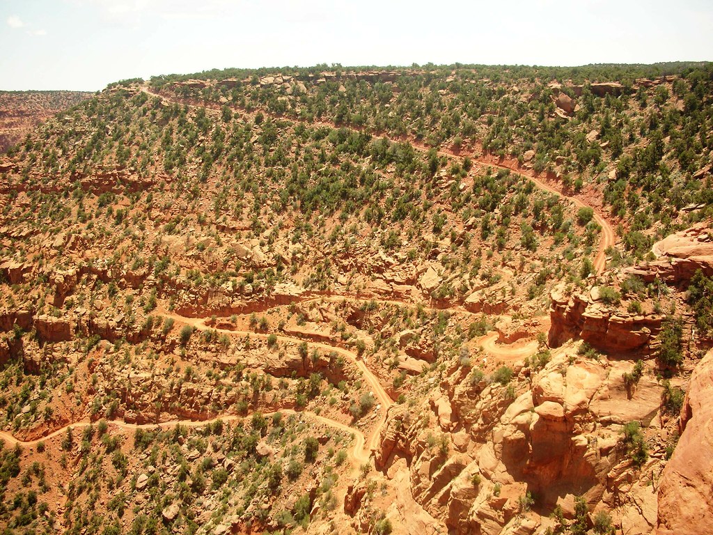
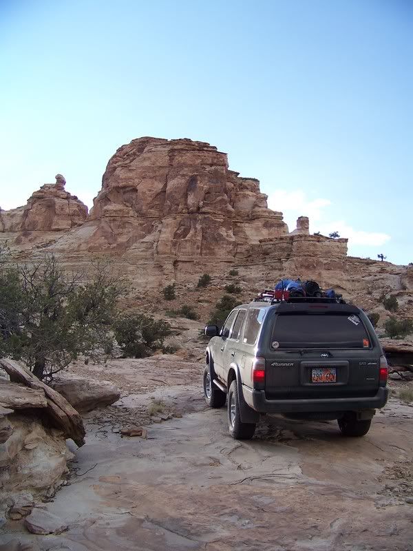
We decided to stick to our plan to head north to the Flint Trail, which is a beautiful road that winds its way up to the top of the Robbers Roost. We stopped and took in the awesome view with the Maze district of Canyonlands National Park off in the distance. The trail was mostly higher speeds to the Hans Flat Ranger Station, which we found locked up tight; though I’m sure we could have found help if we needed. It was hot and buggy, so we decided to wait and eat lunch closer to the Roost Springs. We dropped down a side road off of Ekker Ranch Road that I had GPS coordinates for, and had to check a couple times to make sure it was right. The road dropped from loose sand down a little sandstone ledge and got onto a faint 2 track trail. Although it looked like a small rancher access road it turned out to be cool going by Silvertip Springs, Dead Man’s Hill and the remains of the Cottrell cabin, and finally ending at the campsite right above the trail down to Robber’s Roost Springs. It was extremely hot and more buggy than comfortable, so after reading some of the names and cowboy-glyphs in the rocks. We ate a quick lunch and took the Hans Flat Road out to Highway 24 to Hanksville to fill back up on fuel. It was really cool to see the area of the Robber’s Roost, and while there isn’t a whole lot there today to represent its past, it was great just to know that some of the west’s most famous outlaws spent time throughout the area avoiding the long arm of the law. It is very remote and arid and it is not hard to see why it would be hard to penetrate in the late 1800’s.
Flint Trail Overlook:
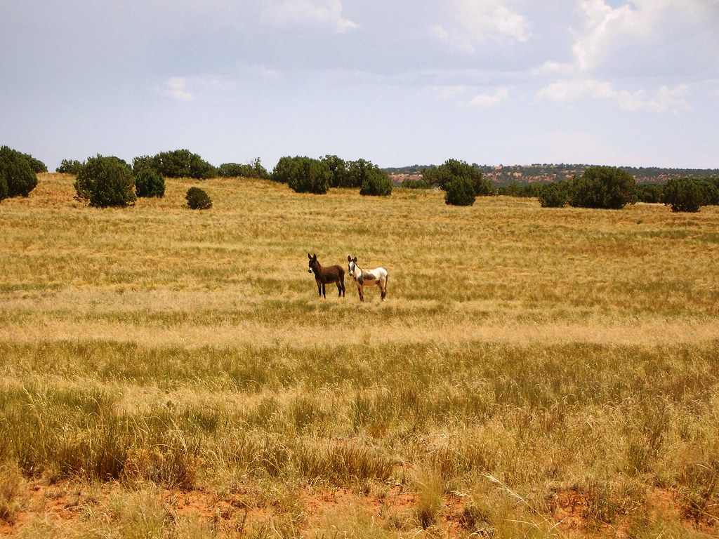
Wild Burros:
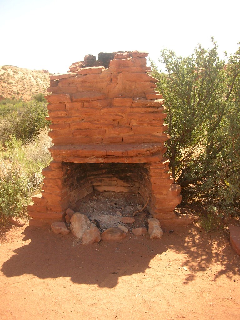
Remains of Cottrell Cabin:
Old Cottonwood Tree near Robbers Roost Springs:
Photo courtesy of Jason Goates
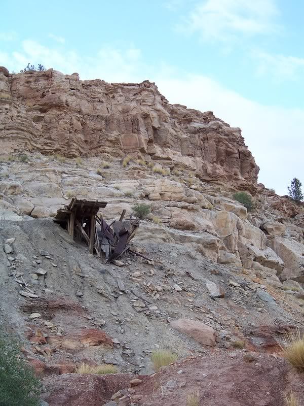
The town was originally built in the early 1900’s and was thriving by 1910. Some believe uranium ore mined from here was sent to Marie Currie to play a part in her Radium experiments. In any case the town shut down during the depression as foreign sources of ore were available. It wasn’t populated again until the great uranium boom of the 1950’s. However, the little town would never be the same due to the popularity of the automobile, and ease of driving greater distances for supplies. Many of the miners lived in trailers, and a few families lived in the old cabins. It wasn’t a big deal by this time to travel into nearby towns for supplies, thus the town never really took hold again. Once the uranium boom was over, most residents just hitched up their trailers and left. Today only a few structures and old cars are left.
We snapped pictures of the area and then determined to have a little fun with firearms. After shooting, we decided that we would camp right there in the middle of town, and began to set up camp. As Jason and Thomas started the campfire, Mariko and I cooked up some dinner mmm… Bacon wrapped chicken and couscous with some green beans! We all sat around the campfire as Thomas played the guitar and sang. Life is good! Later on that night I set up the laptop and downloaded all the waypoints for the next few days and we all crashed for the night.
Heading up the wrong wash:
Photo courtesy of Jason Goates
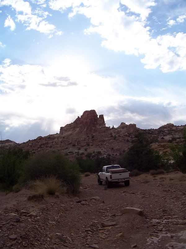
Photo courtesy of Jason Goates
Temple Mountain Ghost Town:
Photo courtesy of Jason Goates
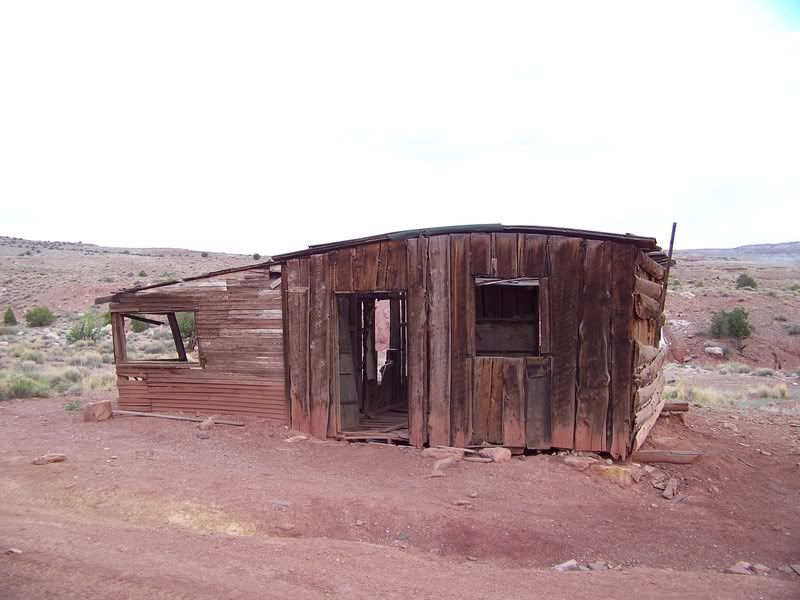
Photo courtesy of Jason Goates
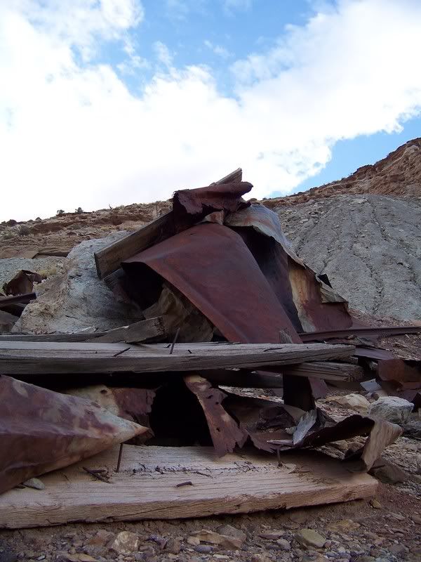
Photo courtesy of Jason Goates
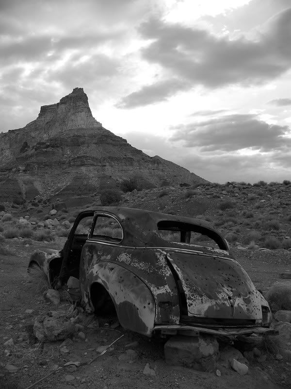
Photo courtesy of Jason Goates
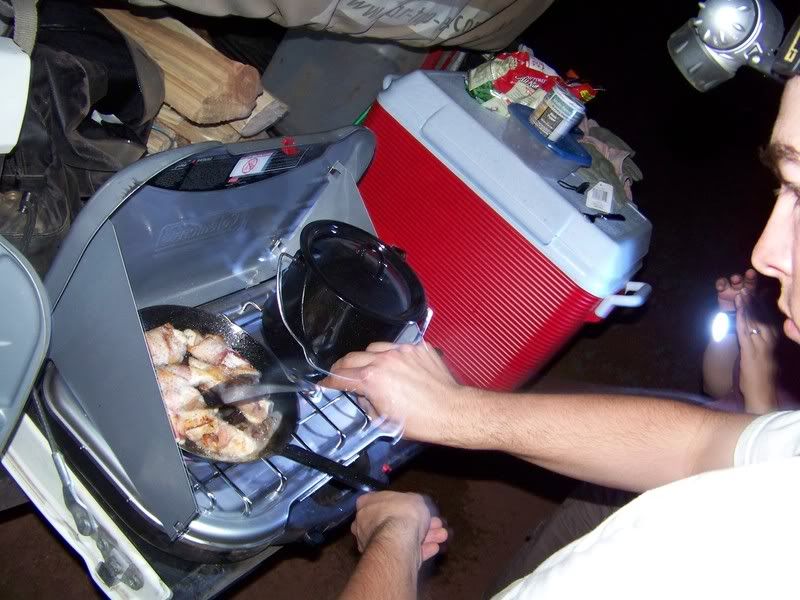
Food:
Photo courtesy of Jason Goates
Camp #2:
Photo courtesy of Jason Goates
Swasey’s Cabin:
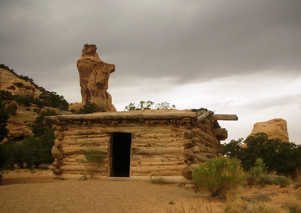
Sweet pictures Jason took behind Swasey’s Cabin:
Photo courtesy of Jason Goates
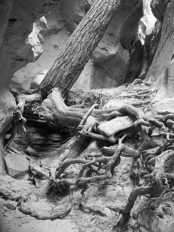
Photo courtesy of Jason Goates
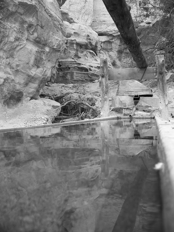
Photo courtesy of Jason Goates
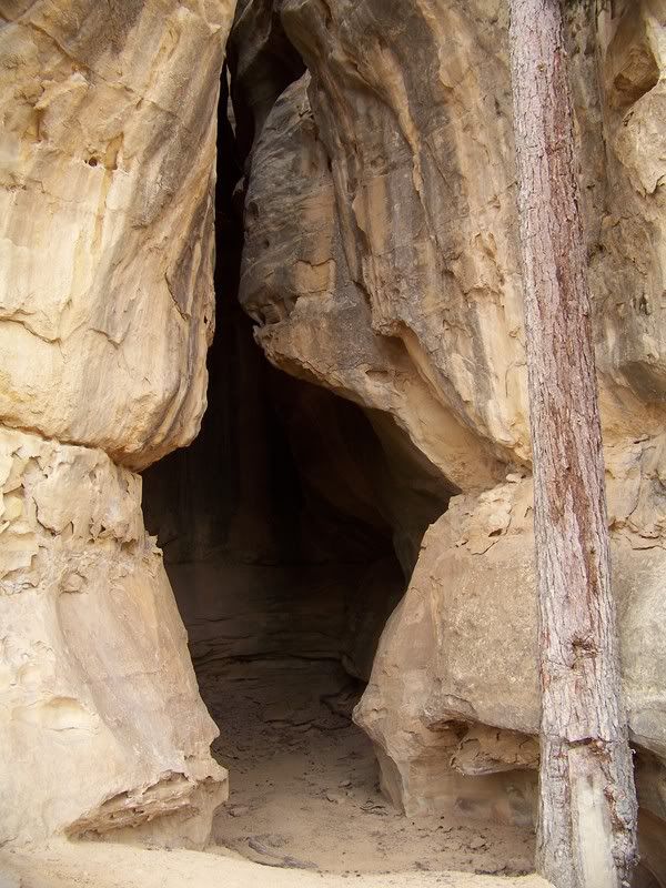
Photo courtesy of Jason Goates
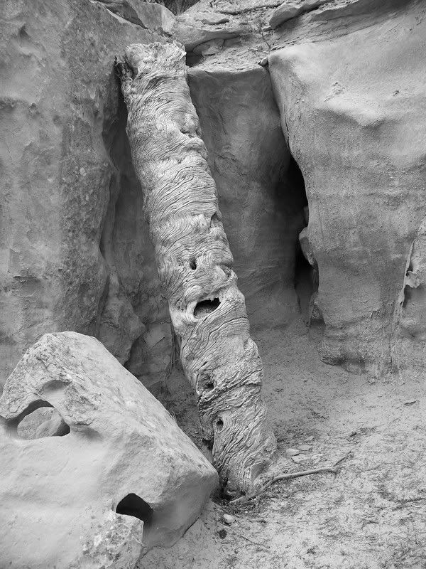
Photo courtesy of Jason Goates
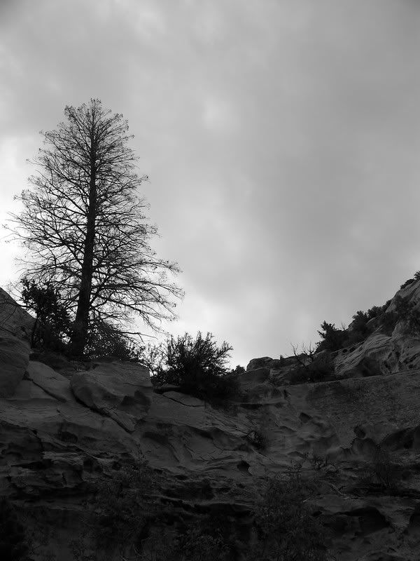
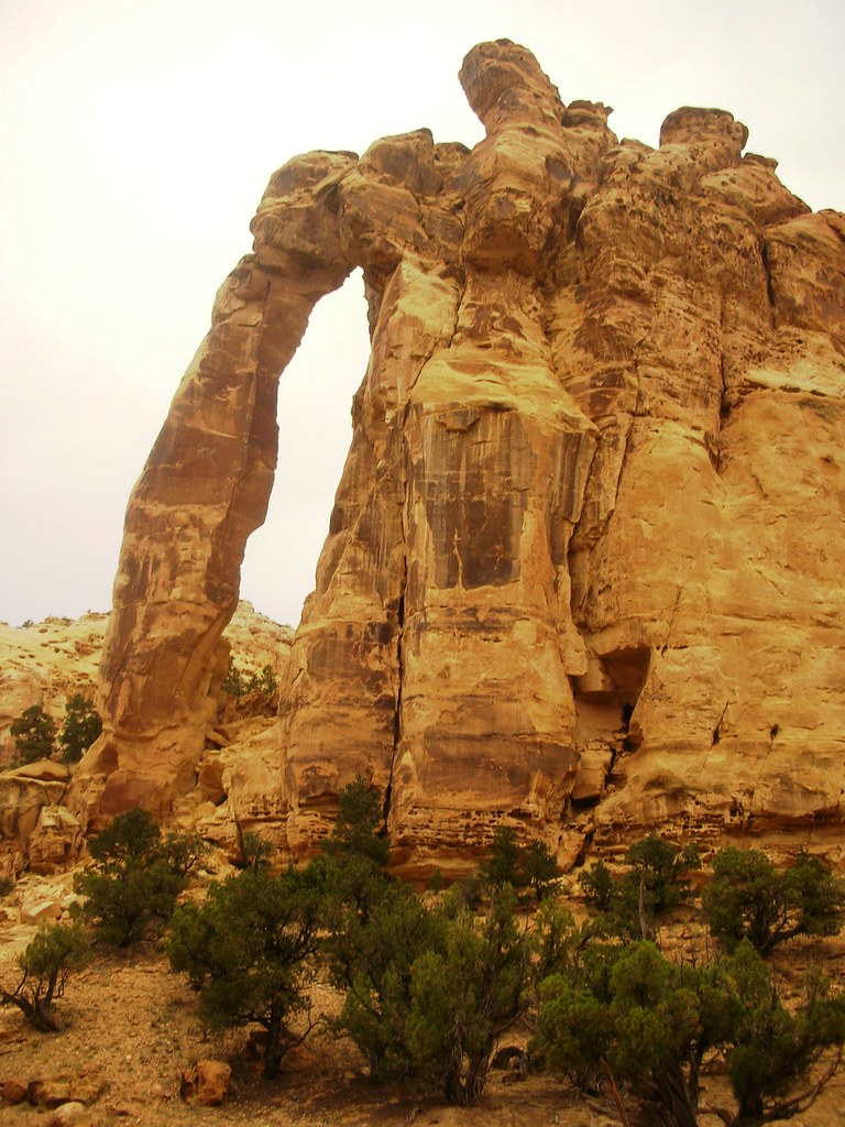
Eagle Canyon Arch:
I-70 Bridges:
Photo courtesy of Jason Goates
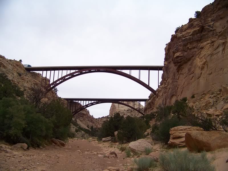
Photo courtesy of Jason Goates
Photo courtesy of Jason Goates
Leave a Reply
You must be logged in to post a comment.