Kevin B.
EU Contributor
Site: Copper Globe mine
County, State: Emery, UT
Years of Occupation: 1900-1905
Status of Site: Open
Classification: Class II
Type: Mining camp
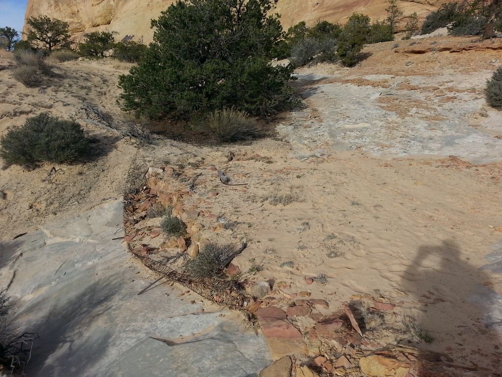
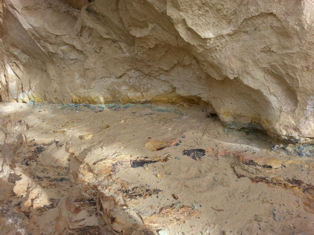
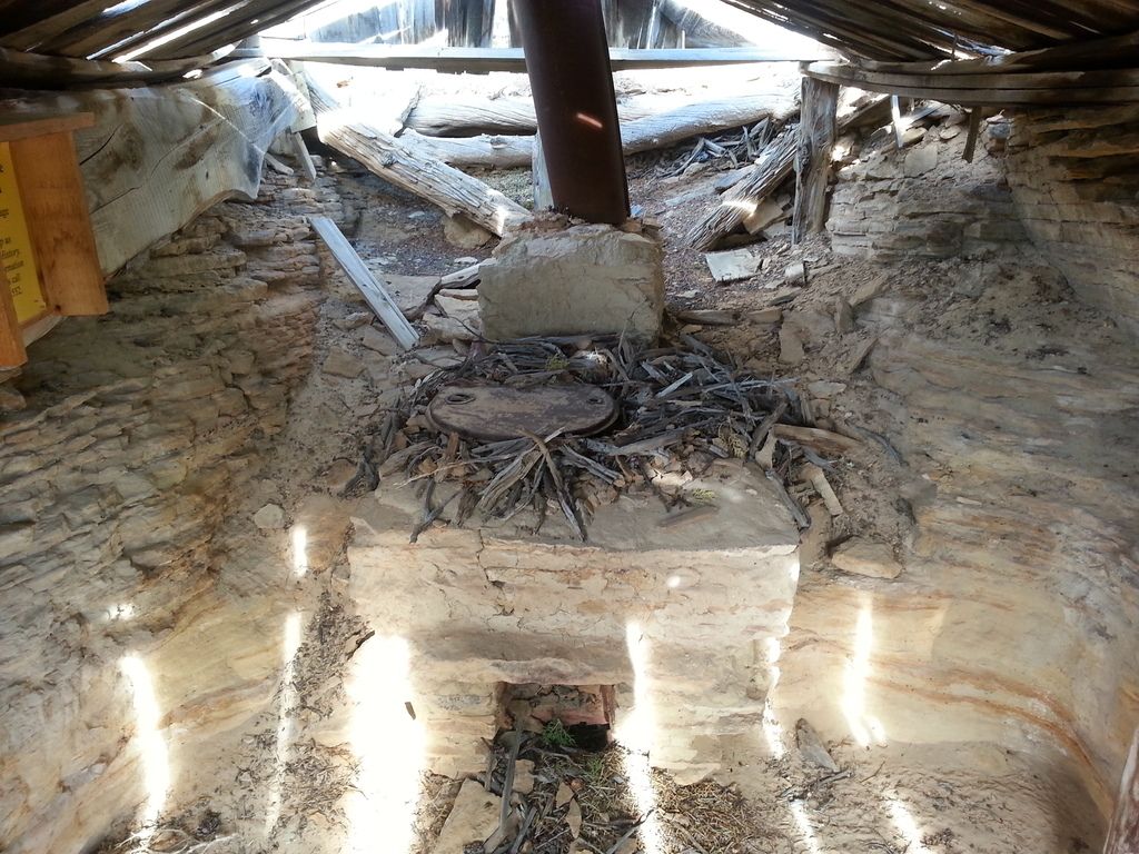
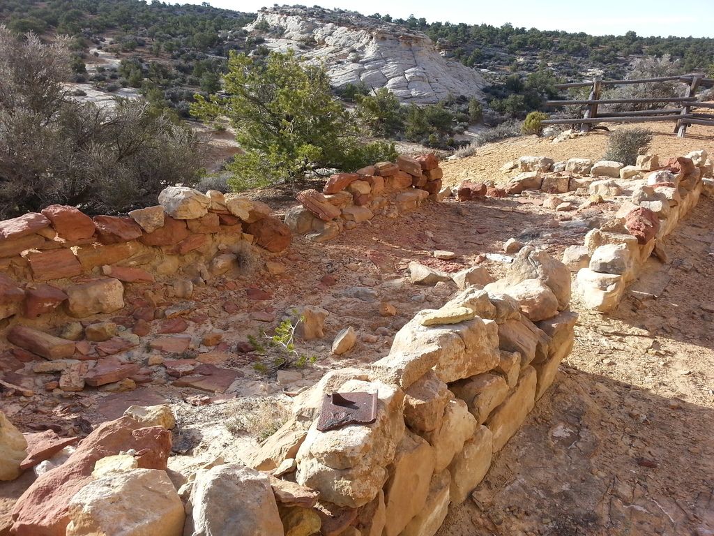
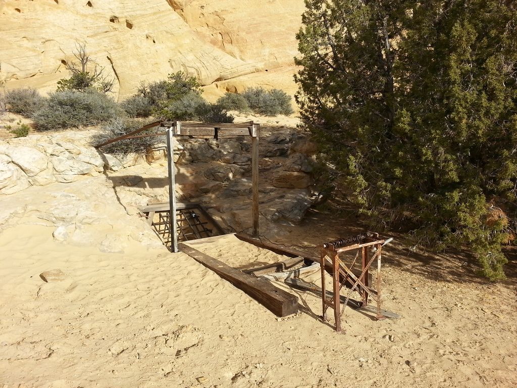
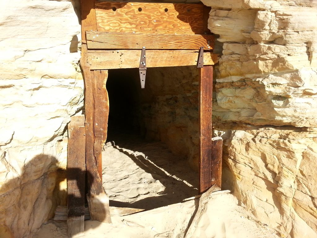
Remnants: Shafts and adits, some half-standing cabins and mining buildings
GPS Coordinate:
NRHP Reference#:
Date of Last Visit: March 29th 2015
Site history: The Copper Globe was primarily worked from 1900 to 1905, although saw sporadic activity through WWII. It's the only copper mine in the Swell, which is primarily known for it's uranium mines. The mine was never successful.
Site status: Open. The Copper Globe is on BLM land, access is unrestricted. The site contains numerous relics of the mining operation, including shafts, adits, several shacks, and assorted rubble. There is a grave nearby purported to belong to a murdered shepherd.
Directions to Get There: I70 exit 116. Take the only road south and follow the signs. Rocky ledgy shelf road with sections of sandy washbottom, high clearance required, 4WD and good tires strongly recommended. Remote area with no services, come prepared.
Further Reading:
http://mojaveunderground.com/wiki/index.php?title=Copper_Globe
http://www.emerycounty.com/travel/san-rafael-swell-copper-globe-mine.html
https://www.fs.ogm.utah.gov/PUB/MINES/AMR/A015/917/SanRafaelOralHistoryReport4-16-2012.pdf
County, State: Emery, UT
Years of Occupation: 1900-1905
Status of Site: Open
Classification: Class II
Type: Mining camp
Remnants: Shafts and adits, some half-standing cabins and mining buildings
GPS Coordinate:
NRHP Reference#:
Date of Last Visit: March 29th 2015
Site history: The Copper Globe was primarily worked from 1900 to 1905, although saw sporadic activity through WWII. It's the only copper mine in the Swell, which is primarily known for it's uranium mines. The mine was never successful.
Site status: Open. The Copper Globe is on BLM land, access is unrestricted. The site contains numerous relics of the mining operation, including shafts, adits, several shacks, and assorted rubble. There is a grave nearby purported to belong to a murdered shepherd.
Directions to Get There: I70 exit 116. Take the only road south and follow the signs. Rocky ledgy shelf road with sections of sandy washbottom, high clearance required, 4WD and good tires strongly recommended. Remote area with no services, come prepared.
Further Reading:
http://mojaveunderground.com/wiki/index.php?title=Copper_Globe
http://www.emerycounty.com/travel/san-rafael-swell-copper-globe-mine.html
https://www.fs.ogm.utah.gov/PUB/MINES/AMR/A015/917/SanRafaelOralHistoryReport4-16-2012.pdf
Last edited by a moderator:
")